
Hamilton County Neighbors by Block
Looking up Hamilton County neighbors begins with the shape of the block, not a broad name search. County address points locate the street and municipality. Parcel geometry then identifies lots that share a boundary, face the address across the centerline, or sit within the same platted block. Property fields name deeded owners and mailing addresses. They do not list every person who lives there. Neighborhood programs add civic context, while old directories can show who was linked to the same block in a past year.
| Source | What It Shows About a Block | Access |
|---|---|---|
| HamCo911 address layer | Address point, postal community, ZIP and municipality | Free ArcGIS service; GIS Office fallback |
| HamCoParcelsPublic | Parcel edge, owner of record, mailing address, block and lot | Free map/service; Property Reports |
| Subdivision plat | Lots, common areas, easements and recorded layout | Recorder index, terminal and copy request |
| City neighborhood programs | Association contacts, projects and public meeting links | Carmel, Fishers and Noblesville program pages |
| Haines Criss-Cross | Dated address-to-name links from the late 1970s onward | HEPL Indiana Room and staff request |
Describe each relationship with care: shared-boundary parcel, same subdivision block, across the street, or nearby map point. A deeded owner can live elsewhere. The mailing address may belong to a tax recipient. A directory line reflects one edition and can omit people. Even a homestead deduction is a tax classification, not a household roster. This block-lookup table therefore maps official records, not private lives.
Hamilton County Address Layers
The HamCo911 address service separates address points, centerlines and intersections. Its fields include house number, directional, street name and suffix, postal community, ZIP, incorporated municipality, county and a full USPS-form address. Those fields can disagree for valid reasons. A Fishers postal label, for example, does not by itself settle city jurisdiction.
Start with the complete address and inspect the point. Then compare the street centerline and nearest intersection. The county Addressing/GIS Office approves road and subdivision names in its jurisdiction, maintains E-911 data, and provides an offline route when an online layer fails. Municipal permit and code records are separate: Carmel, Fishers, Noblesville and Westfield keep their own channels, while county reports cover only the Plan Commission jurisdiction.
The captured parcel-service schema shows the fields used to compare Hamilton County neighbors.
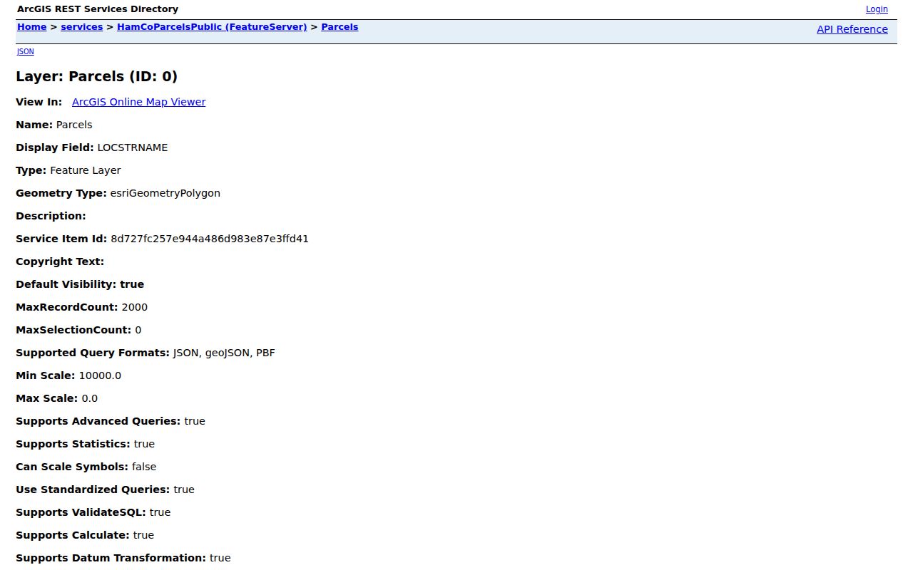
The image supports a field-by-field method and does not turn map points into claims about occupants.
Map Hamilton County Neighbor Parcels
The parcel service supplies stable identifiers, geometry and legal placement. Save the date refreshed with every result. Use the parcel edge, not a rough distance circle, to decide which Hamilton County neighbors are adjacent. Across-street lots should be labeled that way.
- Resolve the starting address in HamCo911. Record its postal community, municipality, ZIP and normalized street form.
- Open the matching parcel. Save the county and state parcel numbers, legal description, subdivision, block, lot and refresh date.
- Select parcels that share an edge. Mark lots across the road separately, then note common areas or split parcels shown by geometry.
- Record deeded owner and mailing fields as property facts. Use the linked Property Report and Recorder instrument for confirmation.
- Consult the plat when easements, common land or lot splits make the map unclear. Ask the Recorder for a known document copy if needed.
The process is address to point, point to parcel, parcel edge to adjacent parcel, then parcel ID to official report. For a whole road rather than the immediate block, use the Hamilton County street directory.
Reading Hamilton County Block Records
Hamilton County’s parcel schema exposes deeded owner, owner name and mailing fields alongside the situs address. Situs means the physical property address. It may differ from the owner’s mail destination. The same result can include last transfer date, legal description, subdivision, block, lot, plat, common-area flag, tax district, corporate limit, property class and a Property Report URL.
- Parcel
- A mapped unit of land identified by county and state numbers.
- Legal description
- The recorded land description used to match deeds and plats.
- Situs address
- The address assigned to the property itself.
- Plat
- A recorded drawing of lots, roads, easements and common areas.
Check the latest recorded transfer when ownership matters. The Hamilton County Recorder publishes deeds online from 1947 forward and historical deed indexes for 1870 through 1963, with terminal and office-copy channels for gaps. Recorder staff do not conduct an open-ended search, so bring a parcel, party or document number.
Hamilton County Neighbor Boundaries
Postal communities, ZIPs and city limits are different layers. County observations show that 46032, 46060, 46069 and some 462xx points can carry postal labels that diverge from the incorporated municipality. Two homes across one street may share a postal city but fall under different service or planning rules. Census ZIP Code Tabulation Areas are approximations and cannot settle a USPS or city-boundary question.
Use the county’s cities and towns map to identify government jurisdiction, then confirm the parcel’s corporate-limit and tax-district fields. The captured county page provides the local-government context for the block.
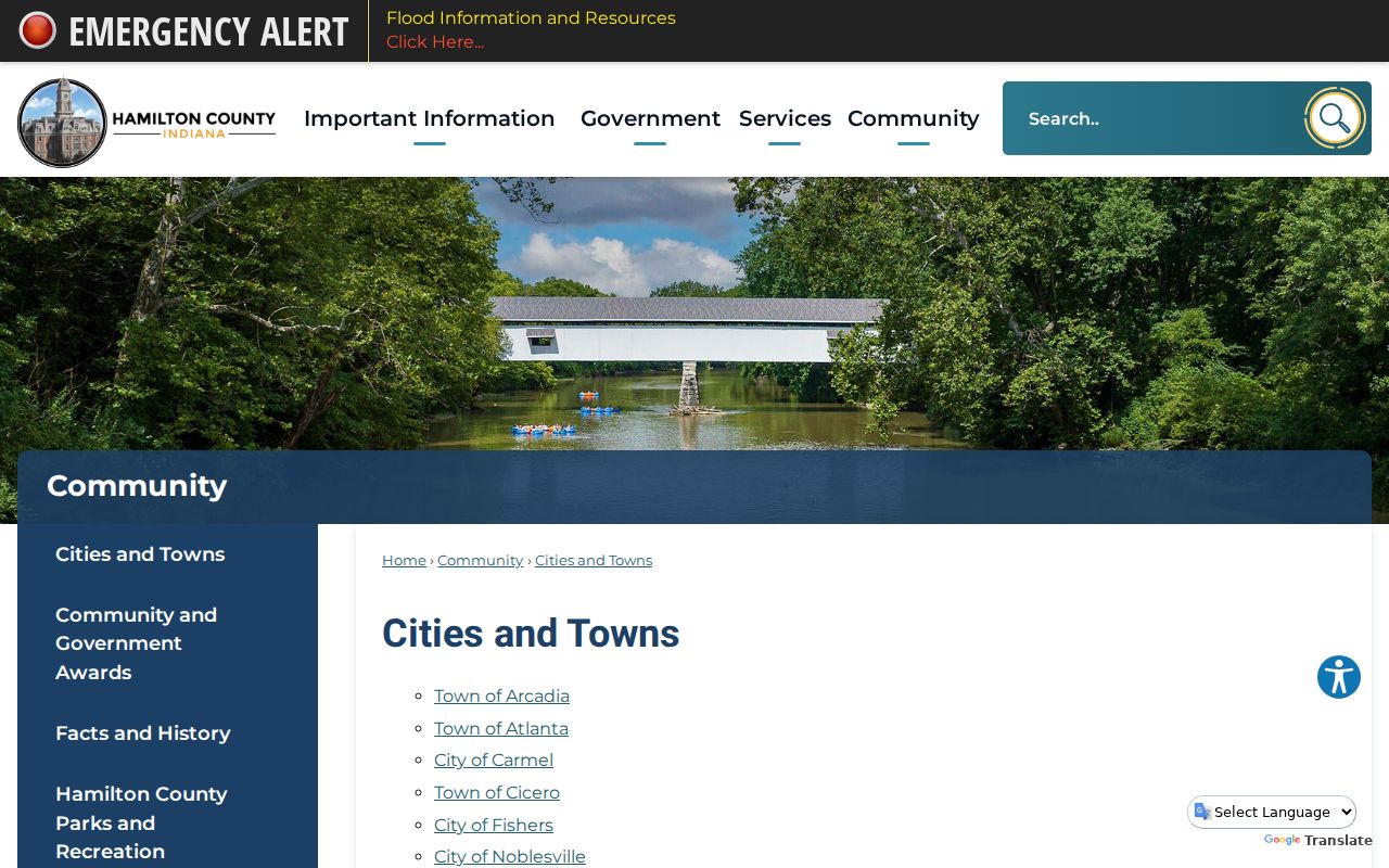
That boundary view explains why a nearby address may use a different permit office or neighborhood program.
Note: A shared ZIP is a mail clue, not proof that two addresses sit in the same neighborhood or municipality.
Hamilton County Neighborhood Contacts
Public neighborhood programs help residents find civic contacts without exposing private membership lists. Carmel’s Community Neighborhood Assistance Network, Fishers’ HOA resources, and Noblesville’s Neighborhood Match Grants publish city services, projects or association-facing support. Westfield publishes neighborhood grant and news material. No countywide public directory of every HOA was found, and association rosters remain private or variable.
Fishers HOA Resources
Workshop, grants, subdivision tools and association contact intake
Noblesville Neighborhoods
Neighborhood Match Grant information and public city-project context
The Carmel CNAN page captured in the manifest shows the official community channel.
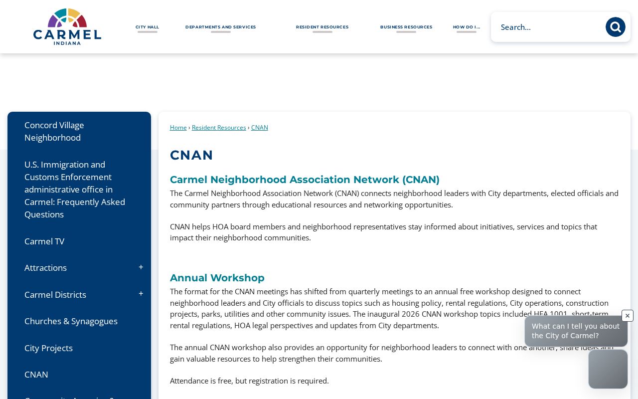
Use public program contacts for meetings and projects. Do not ask for or publish a private list of member households.
Official Hamilton County Neighbor Sources
Commercial neighbor tools may merge marketing data, web traces and old addresses. Official sources are narrower but disclose their custodian and record meaning. That makes them easier to date and correct.
| Source type | Useful fact | Main caution |
|---|---|---|
| County parcel and address layers | Mapped lot, owner of record and jurisdiction | Not an occupant roster |
| Recorded plat or deed | Legal layout and property interests | Not every person at an address |
| Commercial profile category | May suggest an old association | Can be stale, merged or stripped of context |
When a public field is wrong, contact the office that keeps it. A property correction belongs with the Assessor or Recorder. A map or address issue belongs with GIS/Addressing. There is no one form that removes a person from all government records.
Past Hamilton County Neighbors
Current GIS can be paired with Hamilton East Public Library sources to study an older block. Haines Criss-Cross directories begin in the late 1970s and are searched by address. Hamilton County city directories reach as early as 1874 with gaps. Historic maps, plats, Sanborn maps, census schedules, deeds and permit records can explain old lot lines and changed street names.
Keep each year separate. A directory occupant is not always the owner, and an owner may not have lived on the parcel. For Noblesville research, the 1866 map article bridges such names as Wiltshire and Maple, Emmaus and Cherry, and Polk and South 8th. A documented name bridge can prevent a false conclusion that the block moved.
Protect Hamilton County Neighbors
Block records should stay in their source context. Do not combine voter, parcel, court and directory fields into a household profile. Renters, children and other occupants are not disclosed by a deed. Utility and delivery data are not public neighbor rolls. Indiana’s Address Confidentiality Program uses a substitute mailing address for eligible participants, and voter rules protect additional fields. Certain officials and law-enforcement officers may also receive property-database protections.
If an address appears to be protected, stop. Do not reconstruct it through another portal. Avoid full birth dates, signatures, victim information, driver identifiers and unnecessary contact data. Report only the parcel relation and record date needed for lawful neighborhood or property research.
Lawful use. Hamilton County neighbor records may support civic curiosity, block history and personal safety. Never use them to watch, harass, threaten or expose anyone; Indiana stalking law is at IC 35-45-10.