
Walk a Hamilton County Street
The clearest street-by-street search follows one address through several official systems. Each source has a narrow role. The county address layer resolves spelling and jurisdiction. The assessor connects a situs address, the actual parcel location, to a parcel number and owner of record. The Recorder documents legal transfers. A permit may date work at the site. A historical directory can associate a person with an address in a stated year, but it does not prove title.
- Preserve the house number, direction, street name, and suffix. Check the Hamilton County E-911 layer for postal community and incorporated municipality.
- Search Hamilton County Property Reports by property address. Match the legal description and municipality before choosing a result.
- Open county GIS. Record parcel number, situs, deeded owner, mailing address, subdivision, block, lot, and refresh date.
- Use current transfer data to locate the deed through the Recorder search routes.
- For an older household, use an address-first criss-cross volume or street-number directory. The voter portal is person-first, not a public street roster.
This chain produces labeled evidence, not a guess. “Deeded owner,” “mailing addressee,” and “directory occupant” can name different people. For one named person, use the Hamilton County resident lookup.
Hamilton County Address Search Fields
Property Reports does not expose a public owner-name box. It expects a parcel identifier or address, then shows ownership in the selected report. Partial addresses work. If the result list is broad, county instructions say to add one character at a time. Property address and mailing address remain distinct paths.
| Search control | Input | Use |
|---|---|---|
| County duplicate number | 16 digits | Spaces, dashes, and decimal points are accepted. |
| State parcel number | 18 digits | Keep the full value across county systems. |
| Property address | House number and partial street | Omit fractions and dashes; narrow slowly. |
| Mailing address | Partial address | Find tax correspondence, not parcel location. |
| Parcel result | Selected match | Open ownership, transfers, assessments, tax data, and cards. |
The county says ownership updates five times each week. Property cards, assessment data, payment details, and tax statements provide three-year views. Those update notes matter after a recent closing.
See the county’s Property Reports help page before a partial-address search.
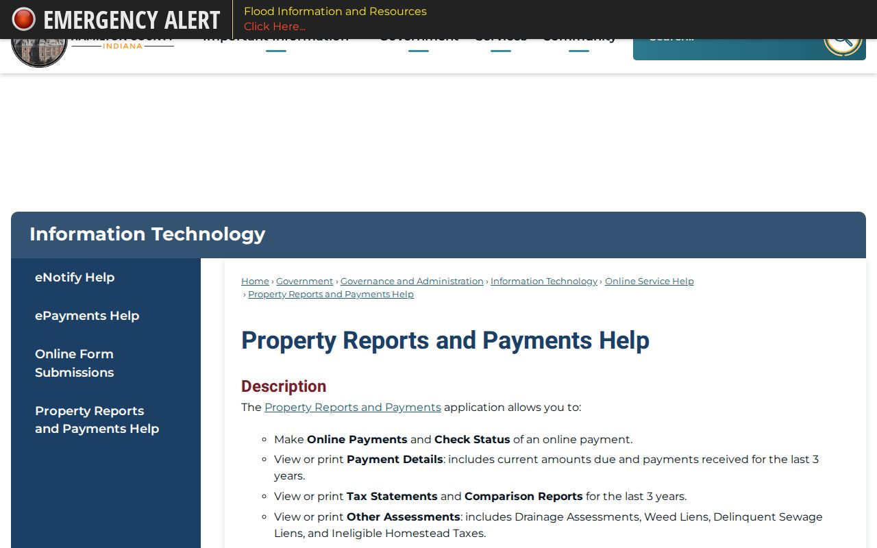
The help screen confirms the narrowing method and reports available after a parcel match.
Hamilton County Street Record Layers
No Hamilton County street directory lists every person at every house. Address-keyed sources document ownership, mapped location, projects, election geography, or a dated directory association. Choose the source that answers the question, then corroborate it.
| Address source | Keeper | What it shows | Access |
|---|---|---|---|
| Property report | Assessor | Owner, situs, mailing address, transfers, parcel card | Portal, counter, public computers |
| Parcel and E-911 GIS | County GIS | Geometry, legal description, postal and city fields | GeoHub, viewer, feature layers |
| Deeds and plats | Recorder | Legal parties, transfers, liens, releases, plats | Fidlar, public terminal, copy request |
| Permits | County or city | Project dates and file participants when present | Reports, portal, APRA request |
| Voter record | Election offices | Person-specific status and precinct | IndianaVoters or regulated request |
| Criss-cross directory | Hamilton East Public Library | Dated address and name association | Indiana Room and staff help |
The public voter form asks for first name, last name, date of birth, and county. It offers no whole-street mode. Broader voter files have statutory redactions and Address Confidentiality Program protections.
Read Hamilton County Parcel Terms
Street results are easier to compare when core terms stay distinct.
- Parcel
- A mapped tract with county and state identifiers. It may hold a building, vacant land, or common area.
- Situs address
- The parcel or building location, which can differ from the owner mailing address.
- Plat
- A recorded drawing that defines lots, blocks, streets, easements, and common areas.
- Criss-cross directory
- A reverse directory arranged by street or address for a stated publication year.
The parcel layer can return legal description, section, township, range, subdivision, block, lot, transfer date, tax district, corporate limit, and a report link. Its service limit is 2,000 rows, so broad roads may require paging. Save the refresh date.
Hamilton County E-911 Street Identity
The Addressing and GIS office approves and maintains street and subdivision names. Its service separates address points, intersections, centerlines, approved streets, and approved subdivisions. That stack helps resolve official spelling, road segments, and assigned jurisdiction.
The schema keeps postal community and incorporated municipality in separate fields. It also stores ZIP, direction, suffix, full USPS address, unit data, and placement method. County observations found mixed labels in 46032, 46060, 46069, and several 462xx codes. A postal label must not become a city-limit claim.
Inspect the official E-911 inventory for those distinctions.
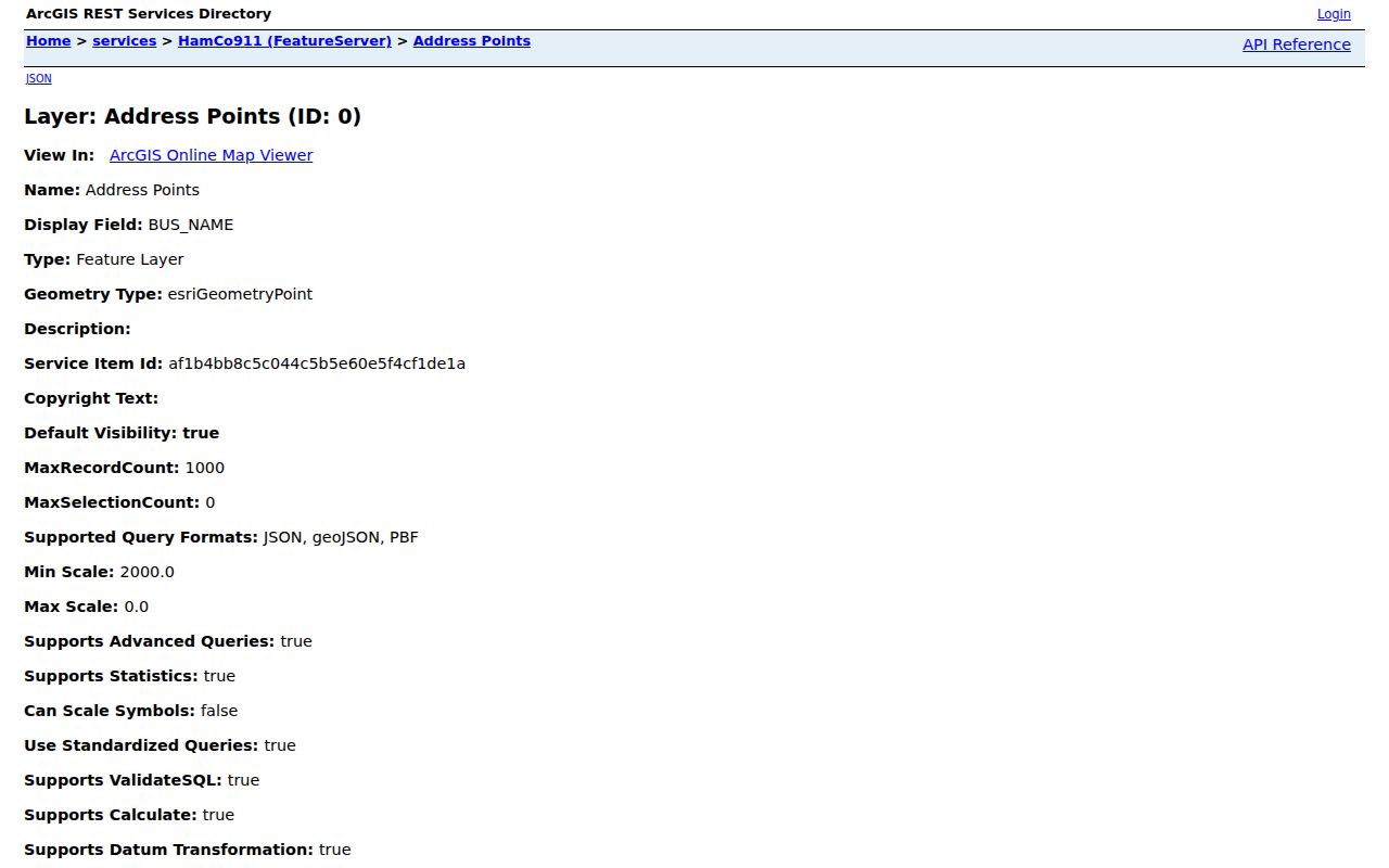
The service view shows why a by-address search preserves postal, city, and street fields rather than merging them.
Note: Postal community is mail-routing data; incorporated municipality is jurisdiction data, and neither field establishes who occupies a parcel.
Follow Hamilton County Streets Into Deeds
The Assessor supplies the parcel. The Recorder supplies legal instruments. Deeds are online from 1947 forward, with miscellaneous instruments from 1973. Published historical ranges overlap: deed indexes run from 1870 through 1963; deed books 75 through 133 cover May 1899 through January 1949; miscellaneous indexes and books cover parts of 1914 through 1960. Do not assume each indexed book has a free image.
Search the latest transfer, then confirm the legal description. Tapestry supports one-time searching, while Laredo is a subscription. Public computers at 33 N 9th Street, Suite 309, Noblesville are the fallback. Weekday hours are 8:00 a.m. to 4:30 p.m., with searching ending at 4:20 p.m. Staff can copy a known document, but they do not conduct open-ended searches or offer legal opinions.
A deed names legal parties and land. It does not list every person present at an address.
Hamilton County Permits by Address
Permits can date construction, alteration, demolition, or inspection work. A file may identify an applicant, owner, contractor, project type, date, or status. It is not a household roll. Resolve municipality first because Hamilton County Plan Commission reports cover only county planning jurisdiction.
Carmel uses planning records and Laserfiche. Fishers uses city systems. Noblesville offers planning records and JustFOIA. Westfield made its Citizens Portal the required route for permits, inspections, petitions, licensing, and code matters in March 2026. If no index result exists, make a focused Indiana APRA request with address, department, record type, date range, and format.
Open the county’s permit-report index after checking jurisdiction.
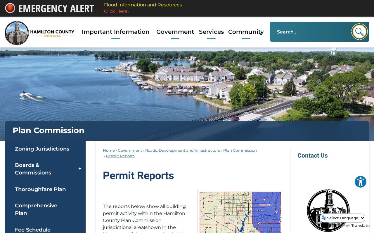
The report index covers county-jurisdiction work; city addresses may require their municipal portal.
Old Noblesville Street Directory Names
An exact-address failure may reflect an old name. The county’s 1866 Noblesville map article links Wiltshire with Maple, Emmaus with Cherry, Jack with North 16th, Polk with South 8th, Catharine with South 9th, Anderson with 10th, and Emmons with 11th. It also preserves Hanibal and Hannibal spellings.
These are search bridges, not a complete renumbering schedule. Compare the map with a plat, legal description, directory street-number section, and deed. No countywide rename index was found. The Hamilton County city directories cover the historical shelf in full.
Hamilton County Street Directory Limits
A by-street result cannot reveal a complete household. Property data names a deeded owner or mailing recipient, not necessarily an occupant. A permit documents a project. A directory reflects one publication date. Voter data is person-first, field-restricted, and protected for Address Confidentiality Program participants. Confidential records do not become public because an address is known.
Use only the fields needed for family history, title research, civic questions, scam avoidance, or neighborhood curiosity. Keep date and source with each name. Report errors to the custodian.
Lawful use. Hamilton County address records are for lawful personal research. Never use an address trail to stalk, harass, threaten, or harm a person.
Hamilton County City Address Routes
The municipality determines where local street records live. Carmel’s Clerk and public-document archive hold ordinances, resolutions, agreements, claims, and meeting minutes, with the archive described as reaching as far back as the 1890s. A parcel or docket number helps with property material. Carmel requests must be in writing. Fishers keeps clerk, court, planning, permit, and neighborhood resources in city systems, while its public-record button routes to a request form rather than a resident index.
Noblesville’s Clerk keeps ordinances, resolutions, contracts, board records, and Riverside Cemetery material. Its JustFOIA portal accepts public-record requests. For Westfield, the former form path was not reliable in the research, so check the Clerk-Treasurer’s current route. The city’s March 2026 Citizens Portal handles permit and code submissions, but it is not a name list.
Arcadia, Atlanta, Cicero, and Sheridan have no verified common street-record portal. Begin with the county cities and towns directory, confirm jurisdiction in GIS, then contact the town clerk for the named record. County property, Recorder, court, and election routes still apply.
Under Indiana APRA, any person may request an existing public record. Hand-delivered requests receive an initial response within 24 hours; email, fax, and mail requests receive one within seven calendar days. Those are response periods, not production deadlines. Ask for a defined permit, plat, code file, or meeting record by address and date. Inspection is free, while lawful copy charges follow the custodian’s schedule.
Hamilton County Property Fraud Alerts
A deed search can reveal an unfamiliar instrument. Hamilton County changed land-record systems in May 2025, and people enrolled in the prior Doxpop alert had to register again. The current Property Fraud Alert is free and sends notice when a document is recorded under a submitted name.
An alert is an early-warning tool, not a block on recording and not proof of fraud. Save the instrument number, recording date, sender details, and copies, then contact the Recorder if the filing appears wrong. Do not send original documents or needless personal identifiers by email. The deed and legal description remain the evidence.