
Hamilton County ZIP Coverage
The Hamilton County postal directory below reflects values observed in the county's official address-point layer. It is not a polygon map and does not claim that every address in a listed code lies in Hamilton County. Core codes are tied to the main local postal communities. Edge codes appeared on boundary, mixed-municipality or unincorporated points and require an exact-address check.
| ZIP Code | Areas Covered | Post Office | Notes |
|---|---|---|---|
| 46030, 46031 | Arcadia, Atlanta | Local USPS locations | Core northern towns with edge values |
| 46032, 46033 | Carmel | Carmel | Postal and municipal edges occur |
| 46034 | Cicero | Cicero | Several county labels appear |
| 46037, 46038 | Fishers | Fishers | Core and edge points |
| 46060, 46062 | Noblesville | Noblesville | Secondary-code meaning not verified |
| 46069 | Sheridan | Sheridan | Mixed edge labels occur |
| 46074 | Westfield | Westfield | Carmel and unincorporated edge values |
| 46040, 46049, 46050, 46055, 46064, 46072, 46077 | County-edge communities | Exact-address lookup | Do not assume full county coverage |
| 46236, 46240, 46250, 46256, 46260, 46268, 46280, 46290 | Indianapolis and south-county edges | Exact-address lookup | Postal and municipal labels can differ |
No official countywide ZIP realignment chronology or downloadable USPS boundary file was located. The address-layer query also returned malformed six-digit values, which were treated as data artifacts rather than postal codes. The research did not verify that a local code is PO-box-only or unique to one institution, so the table does not guess at either status.
Hamilton County Postal Name Mismatches
The county's HamCo911 address points keep postal community in a different field from incorporated municipality. That distinction is the key geography lesson. The 46032 results included Carmel and Indianapolis labels; 46034 included Cicero, Atlanta, Noblesville and Westfield labels; 46060 included Noblesville, Fishers, Cicero, Sheridan and Westfield labels; and 46069 included Sheridan, Cicero, Noblesville and Indianapolis labels.
A postal community helps route mail. An incorporated municipality identifies the local government field in county data. Neither should silently replace the other in a search. Keep Post_Code, Post_Comm, Inc_Muni, county and the full USPS address in separate notes. This prevents a Carmel postal address from being reported as proof of Carmel city jurisdiction when the county layer says otherwise.
Verify Hamilton County ZIP Addresses
The USPS postal lookup is the authority for checking one full delivery address. Its visible form offers corporate or residential mode and fields for Street Address, City and State. No private address was submitted during research, so no unverified result labels are described here. USPS also warns that a lookup response does not guarantee every form of delivery or business validity.
| USPS field | How to use it |
|---|---|
| Address type | Select the corporate or residential route shown by the form. |
| Street Address | Enter the complete number and street, including direction and suffix. |
| City | Use the known postal community, then compare the returned wording. |
| State | Choose Indiana. |
| Find | Run one-address verification, not a bulk county search. |
Use that result as the postal fact, then return to county GIS for municipality and parcel context. A county postal directory is strongest when it keeps those two roles distinct.
Noblesville ZIP Directory Check
The official Noblesville USPS location page is one of the verified local facility routes. Facility pages support the post-office side of a Hamilton County ZIP code search, while the address tool resolves the delivery code for a specific street number.
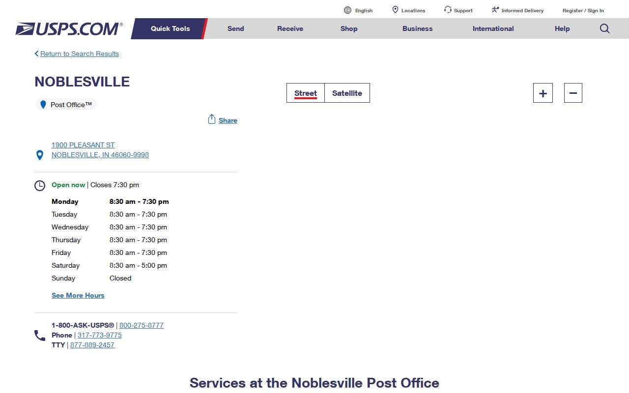
The screenshot confirms the official facility source used for the county-seat area. It should not be read as a boundary map for 46060 or 46062. County address points show other postal and municipal labels on some points, and the full address remains the right unit of verification.
Equivalent official facility links were located for Arcadia, Atlanta, Carmel, Cicero, Fishers, Sheridan and Westfield. Use those pages for facility information, not to infer the home location of every person who receives mail through that station.
Search Hamilton County by ZIP
Official systems do not offer one public resident list filtered by postal code. Hamilton County GIS can query Post_Code, but the property portal uses a property address, mailing address or parcel number rather than a postal-first resident search. IndianaVoters requires first name, last name, date of birth and current-registration county. Business and professional-license systems may offer an optional ZIP filter, but those results show a filing or license role, not who lives at an address.
- Verify the complete address through USPS, keeping its postal city and code.
- Query the county address layer by Post_Code, then retain Post_Comm and Inc_Muni as separate fields.
- Move from the address to the assessor or parcel record. Label the owner of record, mailing address and situs address separately.
- Use a name-specific official source only when the research goal calls for it. Do not treat a ZIP-wide result as a household roll.
Once the area is narrowed, the Hamilton County street directory explains the address and parcel chain. That shift matters because a postal code can span a far larger and less coherent area than one street or subdivision.
Hamilton County E-911 ZIP Fields
The Hamilton County Addressing and GIS office approves and maintains street and subdivision names and supports the GIS mapping used for dispatch and county work. Its HamCo911 service separates address points, intersections, centerlines, approved street names and approved subdivision names. Those layers let a search preserve the street, subdivision and postal context rather than relying on a ZIP alone.
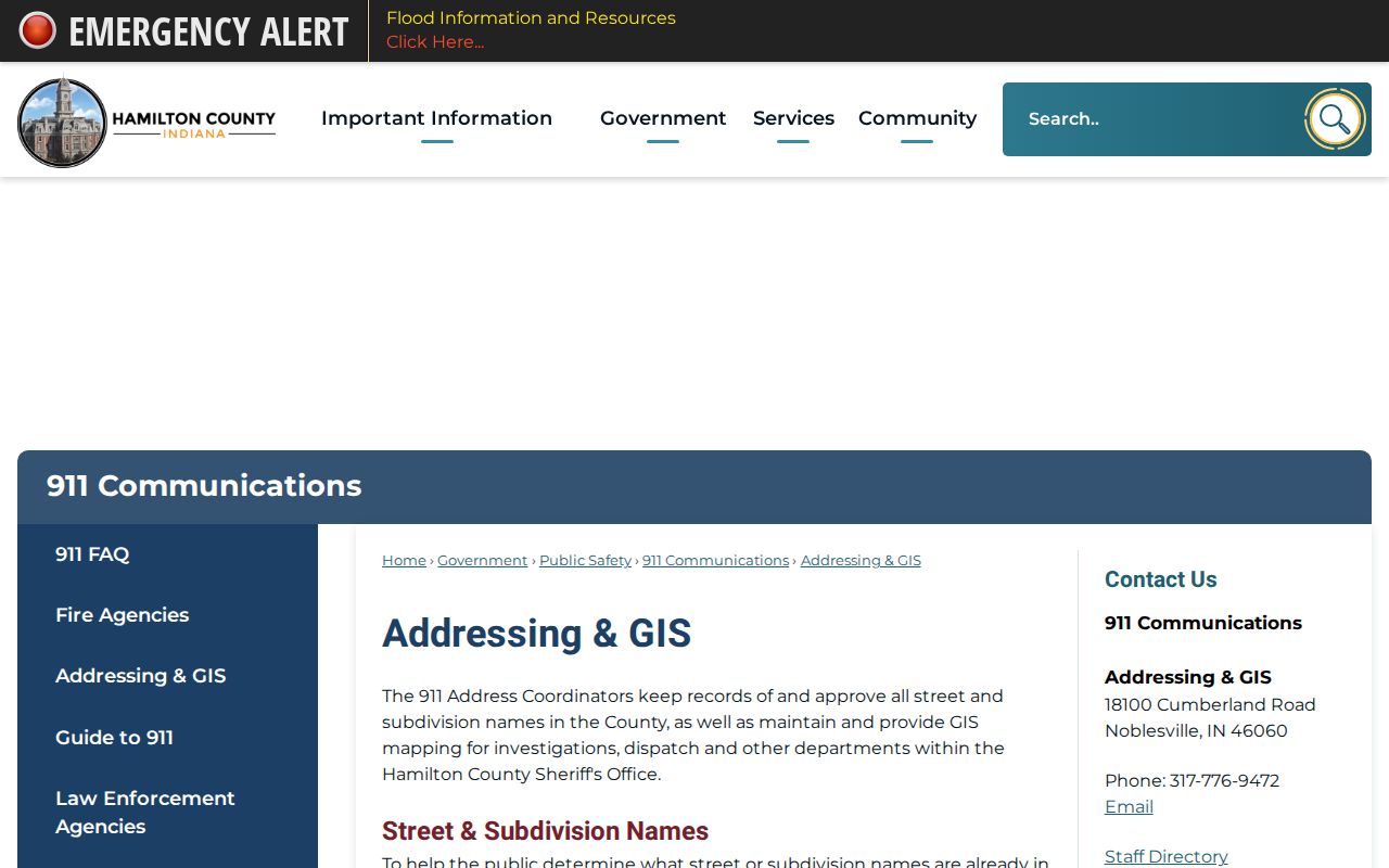
The county page shown here is the official access point for addressing rules. Address-point fields include postal code, postal community, incorporated municipality, street direction, name and suffix, full USPS address, unit information and placement method. A current ZIP code directory can use these fields to explain the record, but it cannot turn them into a list of occupants.
For an offline route, the Addressing and GIS office is at 18100 Cumberland Road in Noblesville and lists 317-776-9472. A local planning department handles the Street Name Approval Form, while subdivisions outside a local planning jurisdiction route their review through the county commissioners.
Hamilton County ZIPs Versus Limits
ZIP boundaries serve mail delivery, while city limits determine municipal jurisdiction. Hamilton County's own records show why they cannot be merged. Edge values connect Fishers with Fortville, McCordsville, Pendleton and Indianapolis codes; Westfield and Carmel points appear with Zionsville-area or Indianapolis codes; Sheridan-related points appear with Kempton, Kirkland and Tipton codes. These are observations in county address data, not proof that every address in those codes shares the same jurisdiction.
- ZIP Code
- A Postal Service routing code for a delivery area, not a city boundary.
- ZIP+4
- The base five digits plus four more that narrow a delivery segment.
- PO-box ZIP
- A code used primarily for post-office boxes; no Hamilton County example was verified.
- Unique ZIP
- A code assigned to one high-volume recipient; no local example was verified.
- Carrier route
- A delivery path within a ZIP, which is not the same as a neighborhood.
When jurisdiction matters, retain the incorporated-place field and consult the city or county office that owns the record. When delivery matters, use USPS. This two-source check is safer than drawing a city limit from a ZIP label.
Hamilton County ZIPs and ZCTAs
The Census Bureau's ZCTA guidance defines ZIP Code Tabulation Areas as generalized census geography built from blocks. ZCTAs approximate ZIP codes for statistics, but they are not the Postal Service's delivery routes. They may be noncontiguous, mixed, unique or tied to PO-box patterns in ways that do not match a simple local boundary.
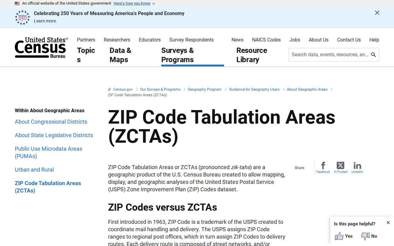
The screenshot anchors the distinction in the Census Bureau's own documentation. Use a ZCTA for published census statistics and label it as a ZCTA. Use USPS for delivery verification and HamCo911 for county address fields. A population count for a ZCTA should never be presented as the number of people served by an exact postal route.
Westfield's 2026 special census illustrates another boundary issue: the city reported 64,407 people and 26,020 dwelling units as of September 15, 2025. Those are city figures, not ZIP totals. Growth and annexation can add addresses without making a postal boundary equal the new city line.